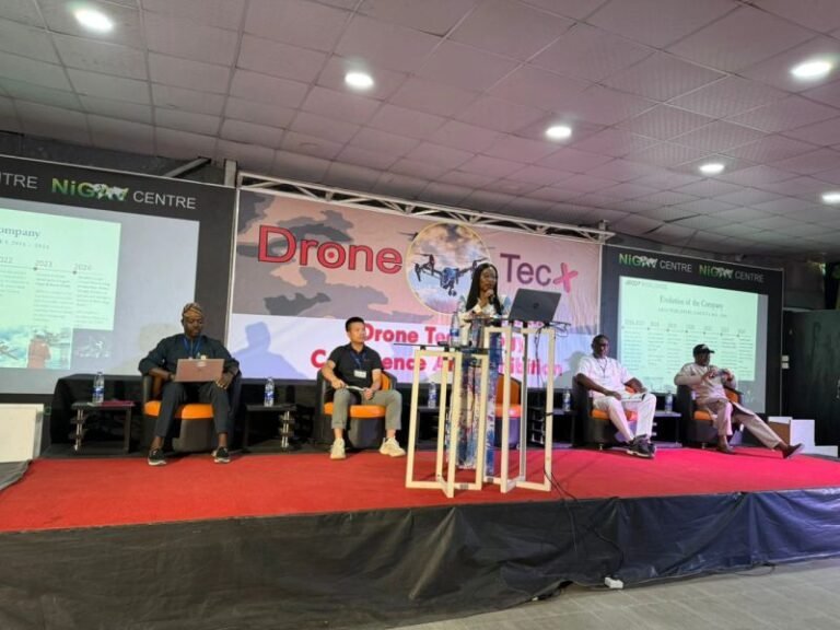
Nigeria’s Licensed Drone Operations Company
Delivering surveillance, inspection, and geospatial intelligence for infrastructures and sectors across Africa.
Certified by

- Our Mission
- Our Vision
- Our Core Values
To deliver safe, compliant, and technology-driven aerial intelligence solutions that empower industries, governments, and critical infrastructure operators to operate smarter, faster, and more securely.
We are committed to operational excellence, regulatory integrity, and innovation providing precision drone services that reduce risk, improve efficiency, and provide data for better decision-making.
To be Africa’s most trusted and advanced commercial drone operations and aerial intelligence company setting the benchmark for safety, innovation, and large-scale drone deployment to empower key government agencies and companies across a range of sectors including Oil & Gas, Energy, Maritime, Military, Security, Defense, Agriculture, Infrastructure, Healthcare, Education and Telecom Sectors.
Enhance user experience with Advanced Tabs, allowing seamless content navigation. Organize information efficiently while keeping the interface clean and interactive. Perfect for FAQs, product details, or multi-section content.
Who We Are
ARCO Worldwide Services is Nigeria’s leading certified drone operations and aerial intelligence company. We deliver precision surveillance, inspection, mapping, and geospatial solutions for different Sectors including Oil & Gas, Infrastructure, Security, Government, and Healthcare sectors across Africa.
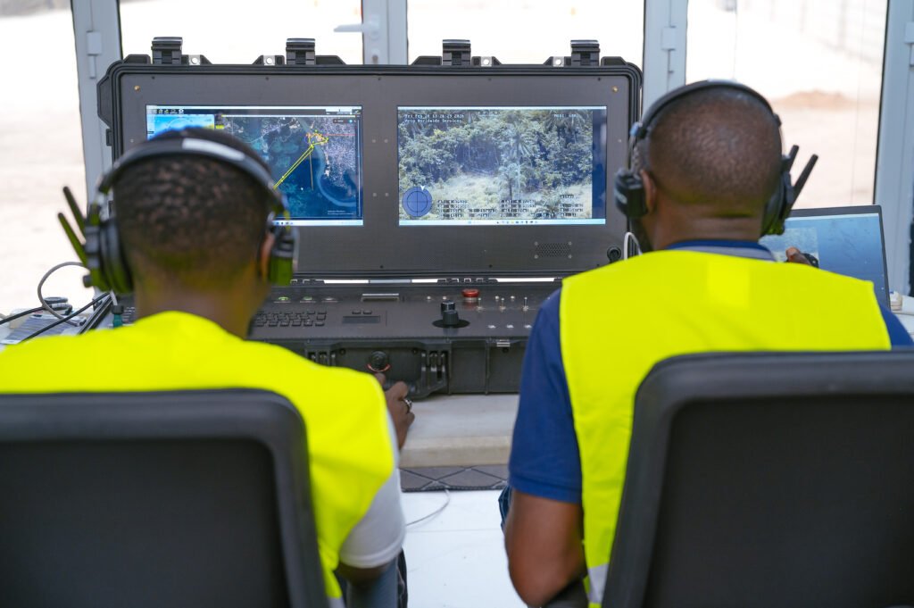
With a licensed fleet, dual-certified pilots, and full regulatory compliance, we execute complex missions including BVLOS operations with unmatched safety and reliability.
We capture data aswell as actionable intelligence that enables smarter, safer, and faster decision-making.
Why Choose Us
Our Services
Aerial Surveillance & Security Monitoring
Real-time drone surveillance for pipelines, borders, offshore facilities, event security, and critical infrastructure.
Drone Sales and Deployment
Supply, deployment, training, and support of enterprise UAV platforms for institutional and corporate clients.
Drone Survey & Mapping
Topographic mapping, orthomosaic imagery, 3D modeling, volumetric analysis, and GIS data integration for engineering and construction projects.
Industrial Drone Inspection
Thermal and high-resolution visual inspections for oil & gas facilities, telecom towers, bridges, solar farms, and power infrastructure.
The Industries we Serve
We aim to deliver excellent technology solutions that meet or exceed our clients requirements in each industry.
Pipeline surveillance and right-of-way (ROW) monitoring, Land surveys, Thermal imaging detection and analysis, Aerial inspection of Infrastructure, tanks, and production sites
Precision agriculture mapping and crop health analysis, Irrigation monitoring and yield prediction, Pest and disease surveillance, Large-scale farm mapping and land-use analysis
Aerial cinematography , Crowd monitoring and safety surveillance, Live broadcast support, Venue security assessment
Topographic surveys and 3D mapping, Progress monitoring and reporting, Structural inspections, Risk and safety assessments of Infrastructures
Route optimization and corridor monitoring, Warehouse and yard surveillance, Supply chain visibility solutions and Perimeter security monitoring
ISR (Intelligence, Surveillance & Reconnaissance) operations, Border and coastal surveillance, Anti-drone and counter-UAV solutions, Tactical situational awareness support, Rapid deployment support systems
Smart city aerial monitoring, Land administration and cadastral mapping, Border and maritime surveillance, Public infrastructure inspection, Disaster management and emergency response
Aerial mapping and volumetric analysis, FPSO Inspection, Ship Escort
Our Clients & Partners


Frequently Asked Questions
Here, you’ll find answers to the most common questions about our services, products, and policies.
To achieve this, you will need to kindly provide us with a more detailed scope of your project, and then a representative from our Business Development team will get back to you with a substantive quotation/solution.
We can be contacted via info@arcoworldwide.ng
Yes, all ARCO Worldwide Pilots are certified and licensed. They all are dual-licensed, meaning they hold both manned and unmanned (drone) licenses and certificates.
ARCO Worldwide prioritizes safety in ALL its Operations. Before every Operation, we conduct site surveys and comprehensive risk assessments before each Operation and perform Specific Operations Risk Assessments (SORA) for high-risk activities.
Our fleet of drones include fixed-wing drones, mid-range fixed-wing drones, multi-rotor drones, and quadcopters, each with varied capabilities to suit different operational needs hence requirements.
ARCO Worldwide provides enterprise drone services including aerial surveillance, industrial inspections, survey & mapping, precision agriculture, digital twin solutions, remote inspection techniques (RIT), Counter-UAS solutions, drone procurement, and training.
Latest Insights
Stay informed with our latest thought leadership and industry news