Our services
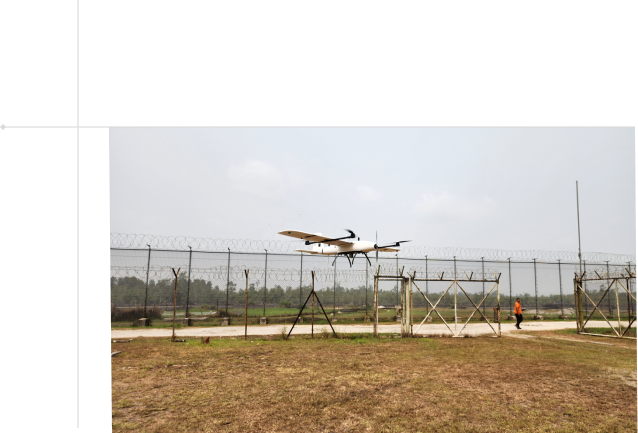
Discover our range of customized drone solutions designed to meet the unique needs of your organization. From aerial mapping to surveillance and facility inspection, we provide exceptional services across the entire value chain using Unmanned Aerial Vehicles (Drones).

Survey and Mapping

- Unmanned aerial vehicles (UAVs) fitted with RGB cameras, thermal cameras, multispectral cameras, or LiDAR payloads are used to gather data. This data is then relayed to ground equipment near the UAV operator.
- The outcome is a detailed digital map, achieved efficiently and cost-effectively, irrespective of weather conditions, thanks to the drones' ability to fly at lower altitudes compared to traditional methods like manned aircraft or satellites.
- We provide a simple and cost-effective means of collecting geospatial data which can be used for mapping, land surveying, using GPS to enable precise, measurable photogrammetric outputs and a myriad of other services such as:
- 2D Mapping and 3D Model Creation
- Digital Twin Creation
- Orthophoto mosaic
- Topographic surveys
- Multispectral map
- Land Surveying
- 3d Point Cloud
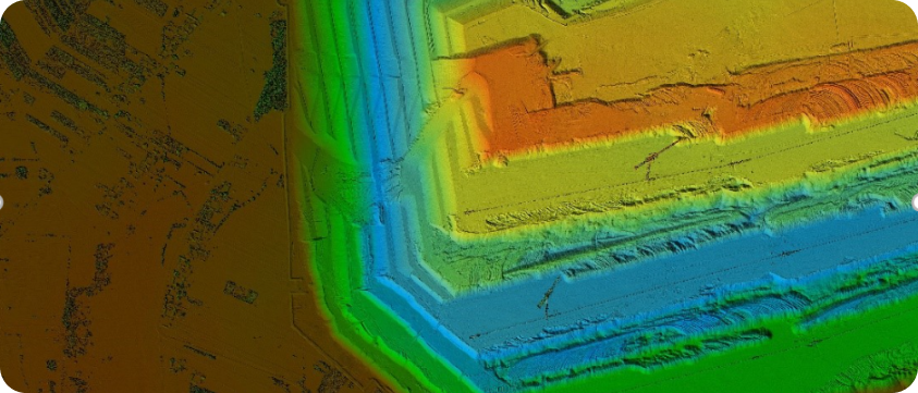
- Digital Surface Models (DSM)
- Terrain Modelling
- Volumetric Surveys
- Stockpile Measurement
- Thermal Imaging
- LiDAR
- Hyperspectral surveys
- Spatial Analysis
- Below is an image of an orthomosaic:


