
Our industries
We aim to deliver excellent technology solutions that meet or exceed our clients requirements in each industry.
Geospatial & remote Sensing
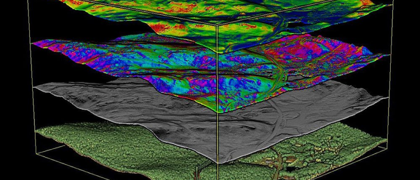
Drones offer great potential for Surveyors and Geographic Information System (GIS) services, providing precise mapping information, and significantly cutting data capture costs and work hours.
GIS and remote sensing are crucial for understanding Earth’s landscape. It provides vital insights across sectors through advanced data collection, analysis, and visualization, informing our environmental perception, management, and interaction.
Remote sensing serves a spectrum of industries including agriculture, forestry, infrastructure development, oil & gas, construction, mining, disaster management, environmental conservation and more.
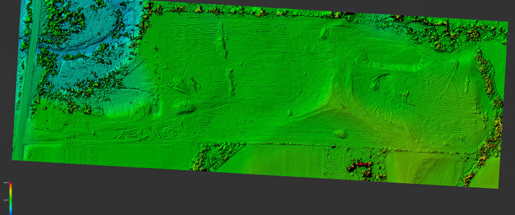
Digital Surface Model of Farmland
GIS Services:
- Precision mapping and surveying
- Environmental monitoring
- Disaster management
- Agriculture analysis
- Geological mapping for geological surveys
- Infrastructure planning and design
- Survey & Mapping