Our industries
We aim to deliver excellent technology solutions that meet or exceed our clients requirements in each industry.
Construction & Infrastructure

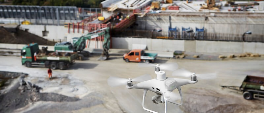
Our technology can be used for a variety of tasks, including monitoring and maintaining pavements and highways, checking and monitoring bridges, inspecting buildings, monitoring damages and cracking, maintaining facades, and mapping historical monuments, as well as 3D modelling for building reconstruction and photogrammetric applications such as volume measurement.

Some of our Construction & Infrastructure Offerings include:
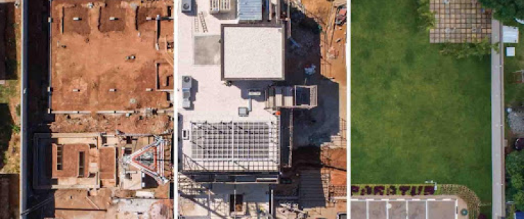
- Efficient Building Surveys: Utilize drones for comprehensive roof inspections, assessing technical condition and identifying faults.
- Topographic Mapping and Land Surveys: Essential for large-scale and complex projects, ensuring suitability for terrain. Drones ensure timeliness, budget adherence, and accuracy throughout operations. High-resolution aerial photos enable the creation of precise DSM and DTM representations.
- Construction site inspections: Identify construction or technical issues on site and verify all project goals are met. 3D models of construction projects can be generated, site inspections can be done more often and cover broader area with efficiency with high quality data.
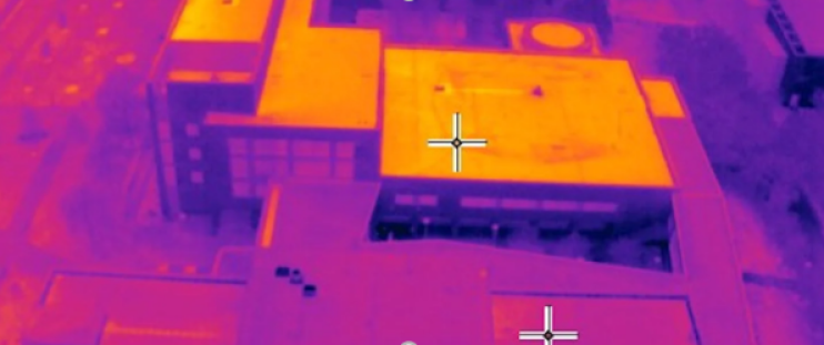
- Thermography: provides engineers, surveyors and contractors with critical building information to diagnose and correct construction faults. Detect concealed flaws not visible to the human eye to locate issues such as leaks, heat loss and water penetration.
- Stockpile 3D: Measure stockpile volumes, distances, and heights, generate contours, track equipment and materials, and view 3D site models.
- Progress Monitoring: Project development can be evaluated with an intuitive visual timeline from multiple surveys.
- Drones are used as inspection tools to ensure efficient and safe examination of structures including buildings, bridges, power generation facilities, and distribution lines.
- Drones are transforming the inspection and maintenance of critical infrastructure, producing high quality data and aerial images in previously unreachable locations
Thermal inspection

