Our industries
We aim to deliver excellent technology solutions that meet or exceed our clients requirements in each industry.
Telecom

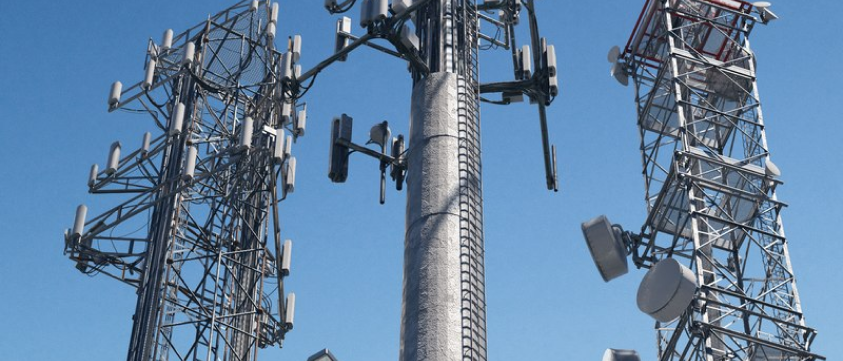
We offer a Telecommunications solution through use of advanced photogrammetric software, enabling the creation of precise 3D representations of cell towers. Our drone technology captures detailed image and positioning data, including 2D images and videos. Generate Ortho mosaic representations of the site surroundings and 3D models to offer accuracy enabling identification and measurement of tower components and equipment.
This level of detail empowers operators to perform precise measurements, identify equipment, detect defects utilizing AI/ML and monitor physical changes over time.
Our Telecom offerings:
- 3D model representation & LiDAR, enables operators to gain accurate 3D models and Orthophoto maps. These technical outputs can be integrated with CAD software for final analysis at remote locations.
- Prepare for new installation of antennae on towers by collecting accurate measurements of components such as mounting brackets.
- Assess the technical condition of towers foundations, anchors and structure, antennae and transmission lines. This enables detection of malfunctions or defects such as structural damage, loose wiring, corrosion can be identified remotely before being addresses on site.

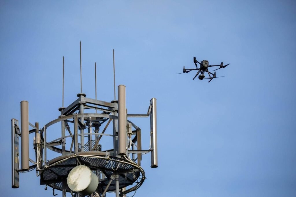
Above is one of the drones we have in our fleet, the Matrice 300 conducting inspection of telecom tower.
Thermal imaging:
- Detects hotspots, leaks, or faults in electrical or mechanical components like cables, connectors, or antennas.
- Identifies potential fire hazards or energy inefficiencies.
Photogrammetry:
- Creates detailed and accurate representations of the tower and its surroundings.
- Utilized for measuring dimensions, identifying defects, comparing changes over time, or creating virtual tours.
- Generates Orthomosaics, correcting multiple photos into a single high-resolution image.
LiDAR (Light Detection and Ranging):
- Utilizes laser pulses to measure distances and create 3D point clouds.
- Produces high-resolution and accurate 3D models of the tower and its surroundings.
- Used for measuring dimensions, identifying defects, comparing changes over time.
